The Allegheny Formation makes up the base of the three local formations (Allegheny, Glenshaw, and Casselman). The formation is visible along the Kiskiminetas River; its two defining characteristics are the Upper Freeport sandstone and shale and the Upper Freeport coal bed. Mining of the Upper Freeport Coal is one of the reasons for mine subsidence locally. It is one of the most prominent coal seams locally.
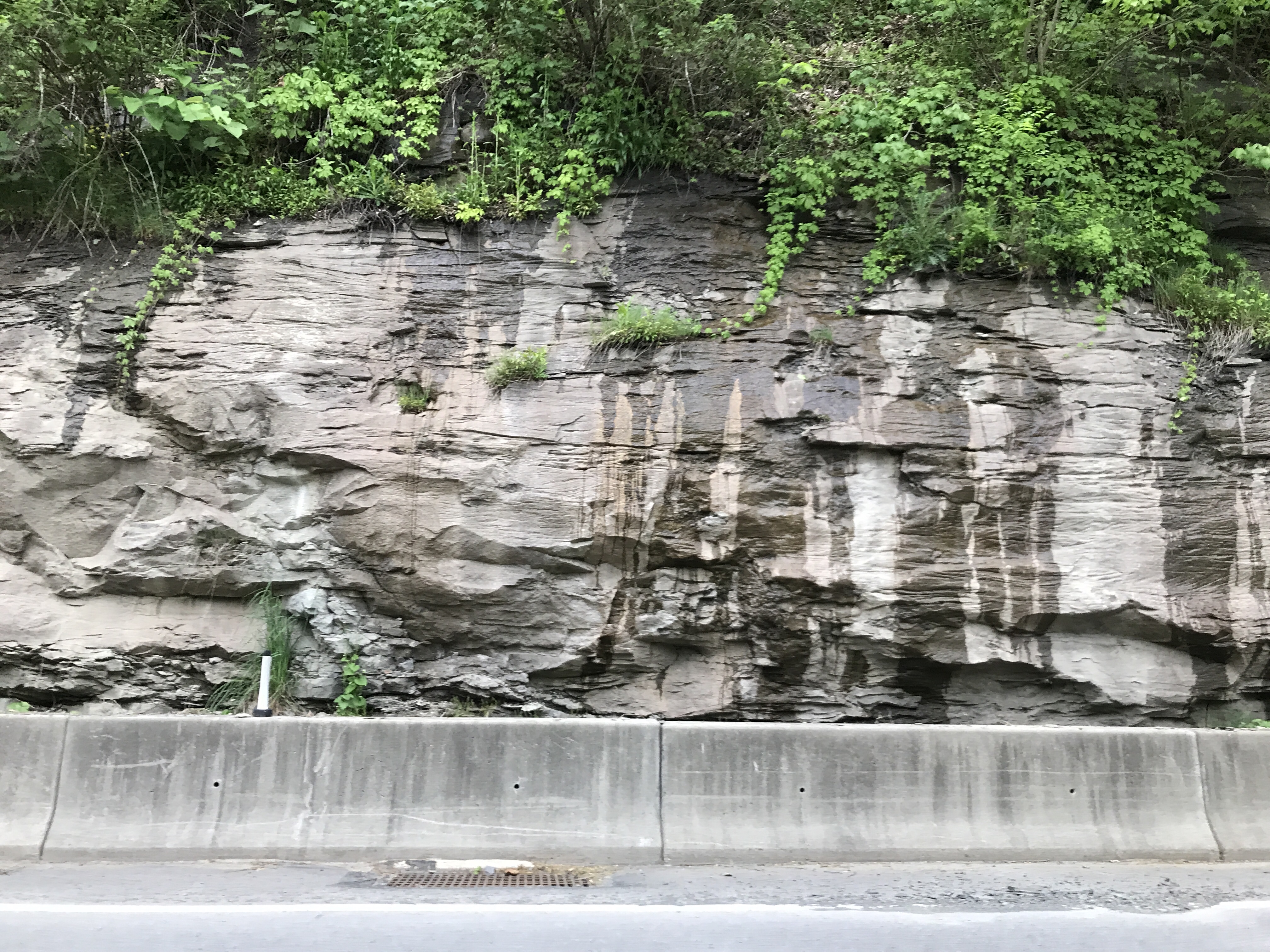
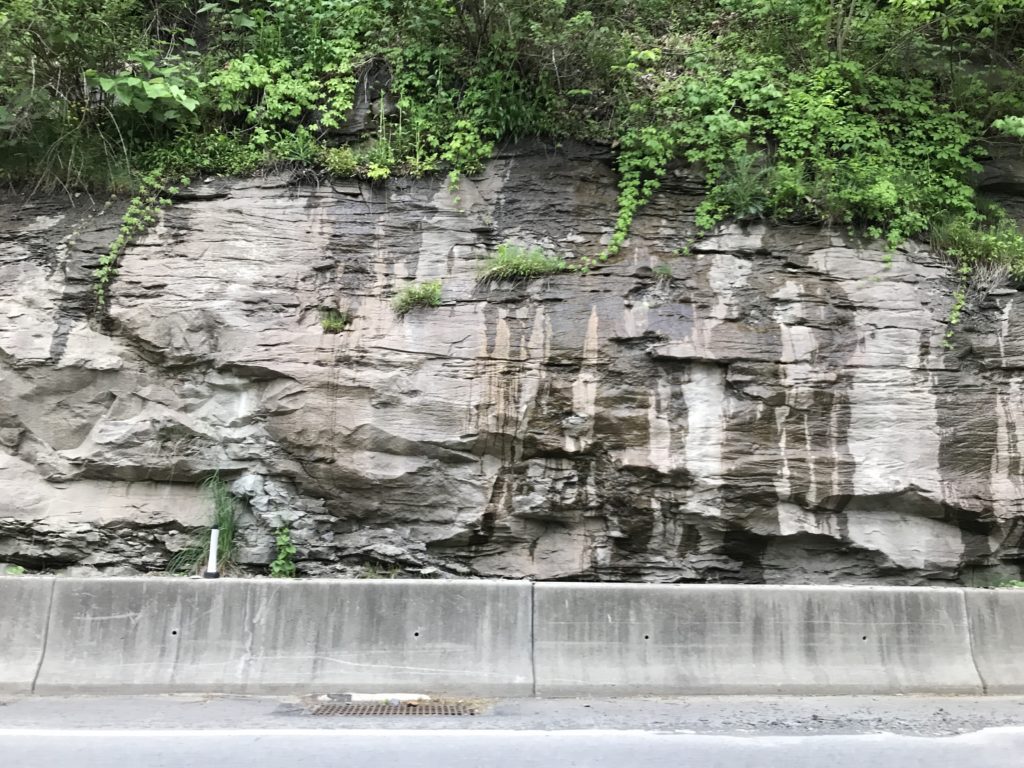
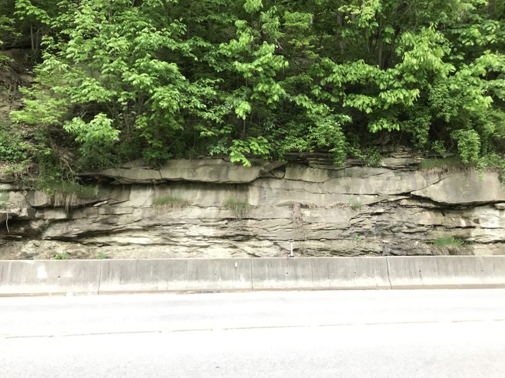
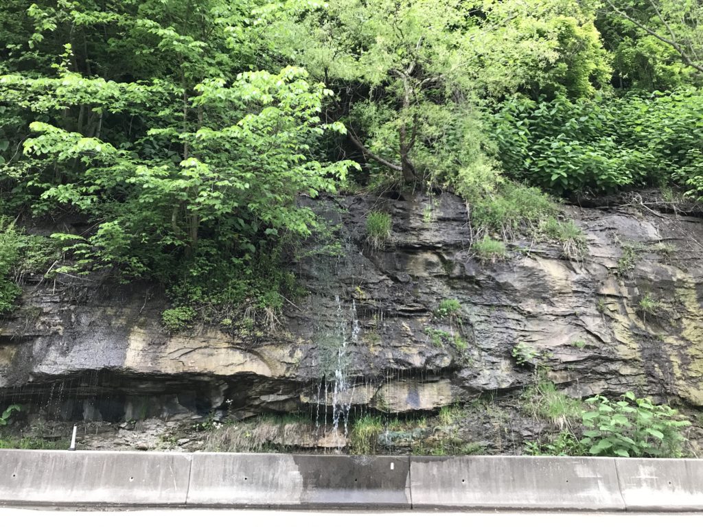
Examples of Upper Freeport Sandstone along PA 66, a half mile from Parks Township.
Formation Stratigraphy
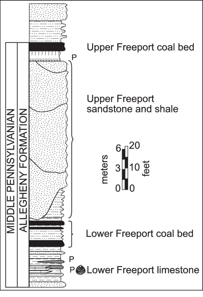
The Upper Freeport coal bed marks the youngest part of the formation. The upper and lower Freeport Coal has been extensively mined in Parks Township. However, it’s not a highly profitable coal seam. In addition, it is pretty narrow compared to other extensive coal strata. In the 1933 Hughes report of the Freeport Quadrangle, Hughes noted several mining operations in local towns, but at a lower number compared to the past. Fast forward to today, they are nearly non-existent. The only local mining company I know of is the Rosebud mining company in nearby Kittanning.
The massive Upper Freeport sandstone and shale are easily recognizable, with massive facades of sandstone rock tens of feet tall in areas. Some cut exposures are easy to see as you travel along PA Route 66 along the Kiskiminetas river. There are significant exposures elsewhere, along PA 66 in Westmoreland County, right after crossing the Apollo Bridge.
Formations Above the Allegheny Formation
Above the formation sits the entire Conemaugh Group. The group divides into two formations, the Glenshaw Formation directly above the Allegheny and the Casselman Formation above the Glenshaw.
More about the Allegheny Formation Online
- Formation Page – United States Geological Survey
- Stratigraphic section, Middle Pennslyanian Allegheny Formation – Research Gate
- Virtual Guide to Southwestern Pennsylvania Stratigraphy – The RockDoctor
References
- Hughes, H.H, 1933, No. 36 Freeport Quadrangle, Topographical and Geologic Atlas of Pennsylvania